


South Africa’s Heritage Day long weekend weather will bring a mixed spring forecast, with warm conditions across parts of the interior alongside showers, thunderstorms and gusty winds in other regions.
Heritage Day fell on Thursday, September 24, giving many South Africans a long weekend from Friday through Sunday.
The break comes after a start to spring marked by severe weather, including warnings affecting several parts of the country.
Read our latest South Africa weather warnings for the wider picture.
For those travelling or attending outdoor events, the South Africa weather forecast points to generally warm conditions across Gauteng and parts of KwaZulu-Natal.
The Western Cape remains the main area to watch for severe weather.
Gauteng weather: Johannesburg, Pretoria and Soweto
The Gauteng weather forecast looks favourable for much of Saturday, September 26, particularly across Johannesburg, Pretoria and Soweto.
The SAWS forecast map shows mostly sunny conditions across the province, with temperatures reaching the upper 20s in several areas.
Johannesburg is expected to reach about 27°C, with a minimum near 13°C. Soweto should see a similar range, with a high of about 27°C.
Pretoria will be warmer, reaching around 29°C to 30°C on Saturday, while the mercury could climb to about 31°C on Sunday.
The wider Gauteng forecast also allows for isolated showers and thundershowers, particularly as conditions change during the afternoon.
Those travelling through the province should check the latest forecast before setting off.
KwaZulu-Natal weather: Durban and Pietermaritzburg
The KwaZulu-Natal weather forecast is also mixed over the long weekend.
Saturday’s SAWS map shows Durban at about 25°C, with partly cloudy conditions and coastal winds. Temperatures could rise to around 26°C to 27°C on Sunday.
Pietermaritzburg will be warmer, with the SAWS forecast showing a Saturday maximum of around 32°C. Afternoon showers and thundershowers remain possible.
Elsewhere, Richards Bay, Ulundi, Newcastle and Vryheid are expected to experience a mixture of sunshine and partly cloudy conditions.
The province could see isolated to scattered showers and thunderstorms in parts of the interior and north-east.
South Africans planning coastal or inland trips should keep checking our weather and flooding updates as conditions develop.
Western Cape weather: Severe thunderstorms remain a concern
The Western Cape weather forecast requires particular attention over the first part of the weekend.
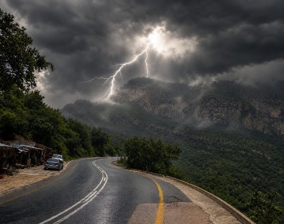
SAWS has issued a Yellow Level 2 warning for severe thunderstorms affecting parts of the province from Friday, September 25, into Saturday, September 26.
The warning covers areas including parts of the Central Karoo and West Coast, with severe thunderstorms capable of producing small hail, excessive lightning and gusty winds.
Localised flooding could affect susceptible roads and low-lying areas. Strong winds and lightning could also disrupt electricity and other services.
The weather map for Saturday shows a varied picture across the province, with rain, showers, thunderstorms and sunshine appearing at different locations.
George and parts of the Garden Route could experience showers and thundershowers, while conditions vary further inland.
Anyone planning outdoor activities should monitor the latest warnings and move indoors when thunderstorms approach. It is also worth reviewing these safety measures during severe weather and flooding before heading out.
Weather across the rest of South Africa
The Northern Cape could experience partly cloudy and warm to hot conditions, with showers and thundershowers possible over parts of the central and south-eastern interior.
The Free State and North West should generally remain fine and warm before becoming partly cloudy during the afternoon. Isolated showers and thundershowers could develop in parts of the North West.
In Mpumalanga and Limpopo, partly cloudy conditions and isolated afternoon showers and thundershowers are possible, particularly in the east.
The Eastern Cape will see a combination of fog, cloud and fine conditions, with isolated to scattered showers and thundershowers in some areas.
Looking towards Sunday and Monday, SAWS expects partly cloudy and cool conditions, with isolated to scattered showers and thunderstorms possible over parts of the central and eastern interior.
Some Northern areas could remain warm.
For the most current information, travellers and event organisers can also check SAWS daily forecasts and warnings as the weekend weather develops.